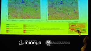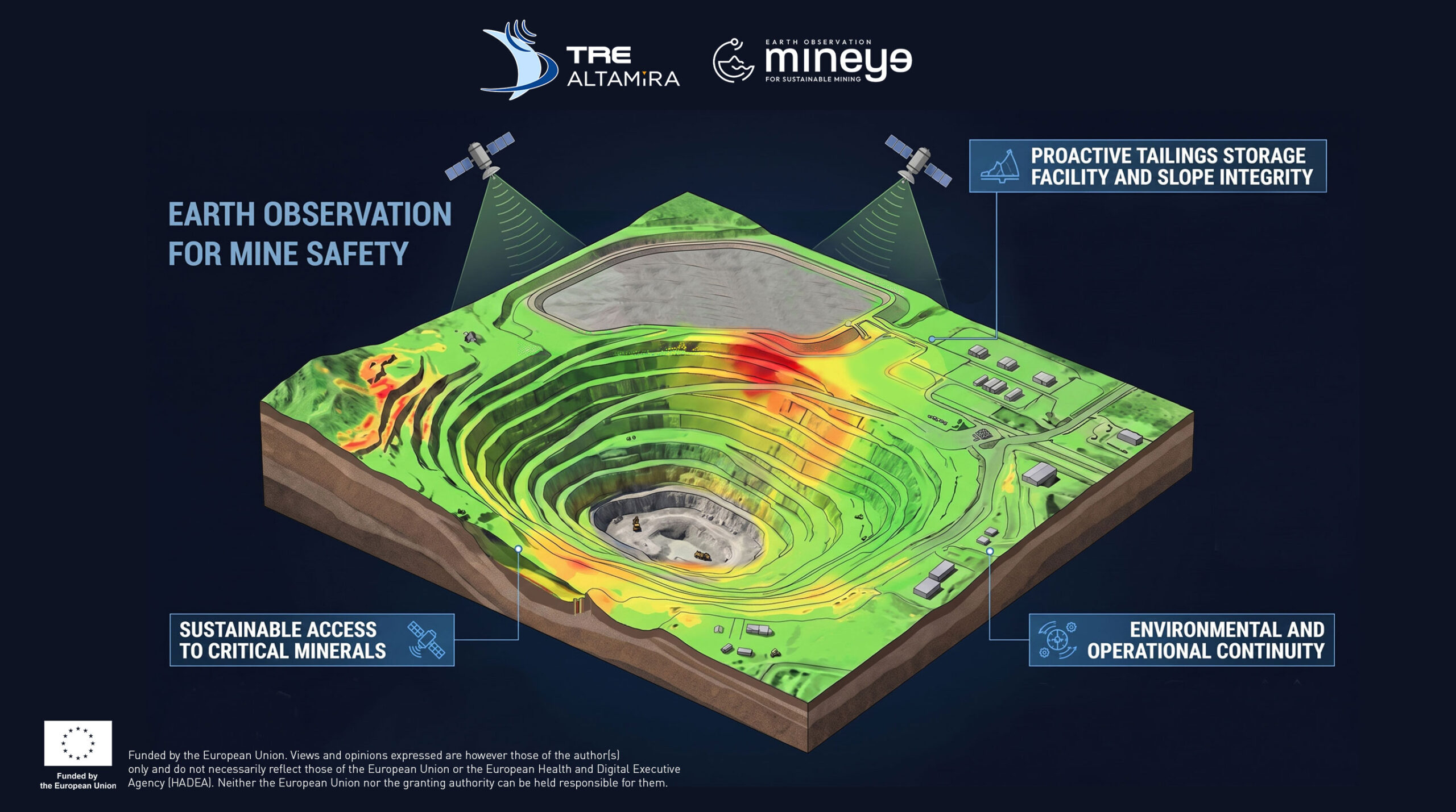
MINEYE exploring how multi-source Earth Observation can strengthen risk management and reduce environmental and social impacts across the mining lifecycle. Through its collaboration with TRE ALTAMIRA, MINEYE integrates high-precision satellite InSAR with complementary Earth Observation, geophysical and geochemical data.
For geotechnical engineers, site operators and asset owners, combining millimetric radar displacement tracking into a multi-source framework unlocks key operational benefits:
- Proactive Tailings Storage Facility and Slope Integrity
- Sustainable Access to Critical Minerals
- Environmental and Operational Continuity
By combining diverse data sources, MINEYE is advancing data-driven solutions for safer, more resilient and sustainable mining.
Stay tuned for more updates from MINEYE and its partners.!